

Black Rock City
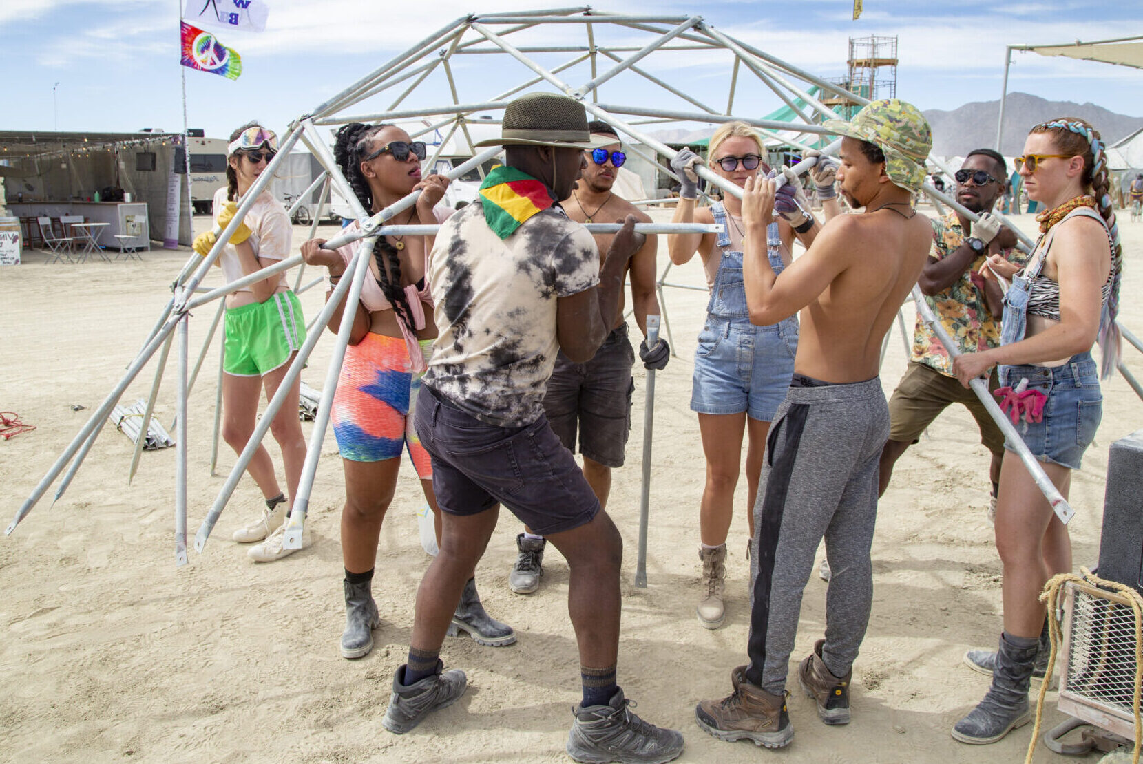
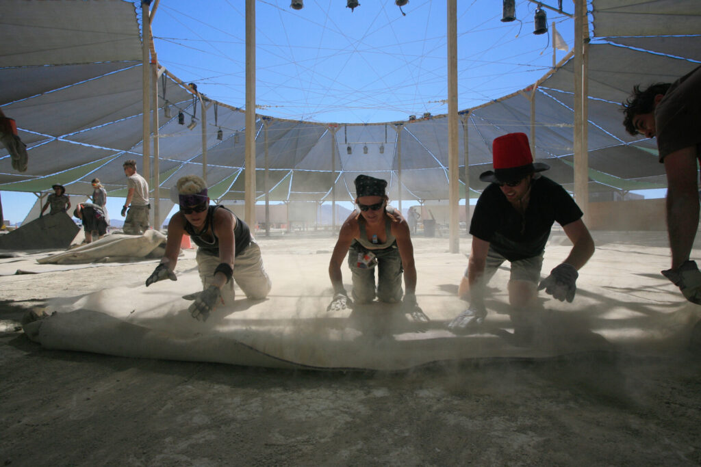
Tens of thousands of people converge on a dry lakebed, build a city where they will live and work for a week, then make it disappear. In this crucible of creativity, all are welcome.
The Man Burns In
Welcome Home!
There are hundreds of Burning Man events around the world and Black Rock City, a temporary metropolis in Nevada’s Black Rock Desert, is the signature annual gathering.
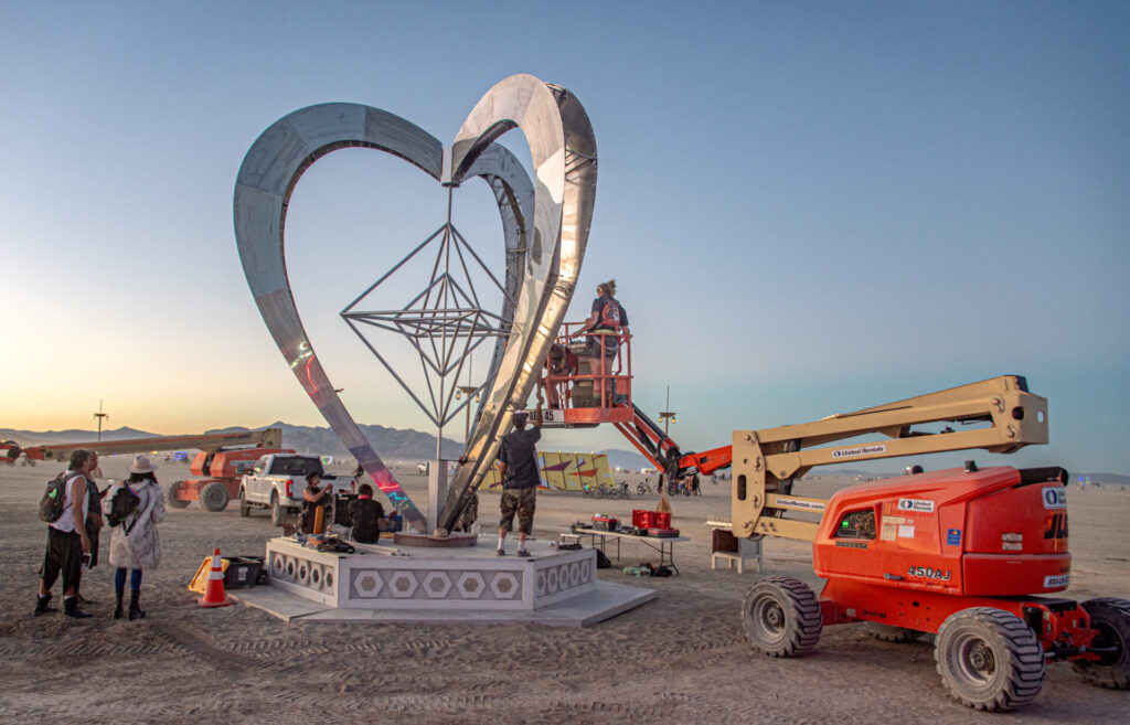
Black Rock City brings all of Burning Man Project’s program areas as well as the 10 Principles to life in a large-scale representation of the Burning Man arts and cultural experiment.
Burner Profile
A must-have to volunteer, access Burning Man Hive, and complete participation forms for art, camps, and mutant vehicles.
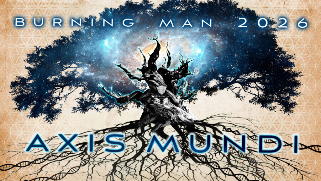
BRC 2026: Axis Mundi
Discover important dates and details about the 2026 event in the Nevada desert, including ticket information.
Get Ready for Your Best Burn Ever
…whether it’s your 15th or your very first (Burn)! Here’s everything you need to know to go to Burning Man.
Authentic culture is disappearing faster in this world than tropical rainforests.
—Larry Harvey
Black Rock City 2026
Black Rock City will rise once again from the dusty playa of the Black Rock Desert in northern Nevada, August 30 through September 7, 2026.
Appreciations
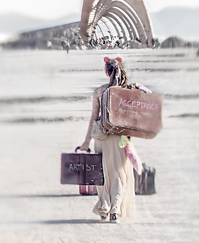
Cover: Photo credit Hank Espressobuzz
Axis Mundi theme graphic by Tanner Boeger